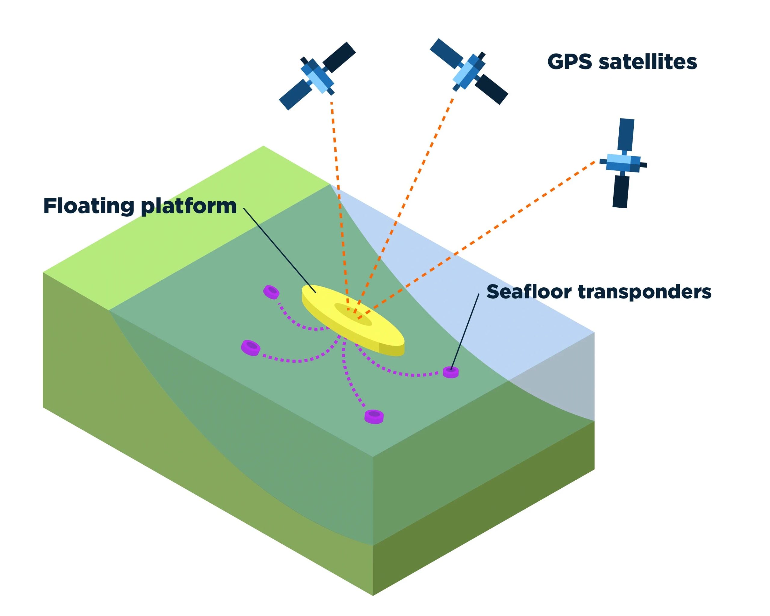
Ask the expert: How can the Chignik earthquake in Alaska help predict future risk?
“Ask the Expert” articles provide information and insights from MSU scientists, researchers, and scholars on national and global issues, complex research, and topics of general interest based on their areas of academic expertise and study. They may contain historical information, background, research results or offer suggestions. Earthquakes are caused by the movement of the tectonic … Read more
